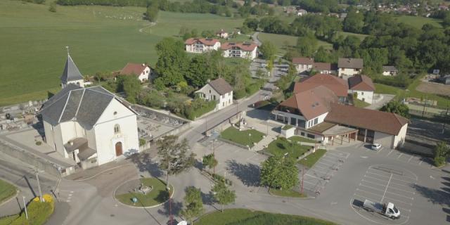
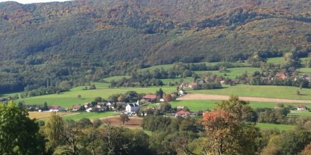
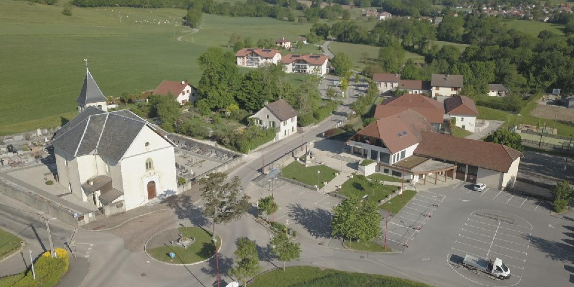
With a surface area of 10 km² and a population of a thousand inhabitants, Savigny, the commune of eight hamlets, has a geographical location that makes it unique.
From the Vuache ridge in the west, where it has the highest point (1110 m), to the Fornant in the east, a stream that flows out of the village at an altitude of 530 meters. Leaning to the north against the moraine hill of Mont de Sion, it turns its back on the Geneva basin (while opening its doors to it through the Jurens and “Poteau” passes) and looks south where all its waters flow to join the Usses via the Fornant. The sloping side of the mountain is completely covered by a forest of deciduous trees striped with a few darker lines of conifers, its two beautiful “prehistoric” caves and the two “cup stones” situated below are the witnesses of a very ancient human presence.
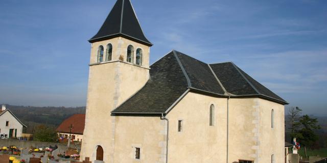
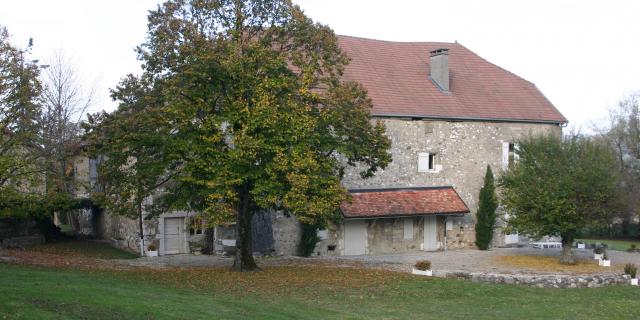
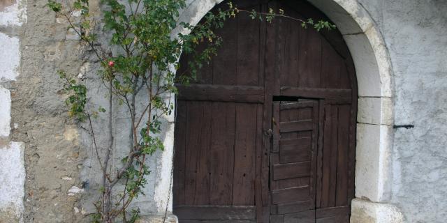
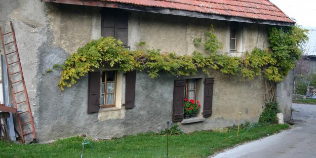
The cultivated area in the foothills retains the features of a semi-bocage landscape which confirms the “dairy” vocation of an agriculture based on cattle breeding. The fifty small “farms” of the 1950s have given way to four large farms organized in GAECs and to a recent goat farm that supplies the Friday market with “crottins”. The old farms transformed into residences have however kept the frame of their barn door. Other buildings bear witness to the past: the “castle”, long the heart of a large seigniorial estate, the neo-classical Sardinian style church of 1835, the “fruitières” of Olliet and Murcier, bought by private individuals but still recognizable.
The “Chemin des Espagnols” refers to a painful moment of the Second World War. The “Chemin des Huguenots” crosses the commune as well as the hiking trails around the Vuache.
