See photos (4)
Boucle pédestre : le Chemin oublié
Walking/pedestrian
in Cuvat
2.2
km
Walking/pedestrian
30min
Easy
-
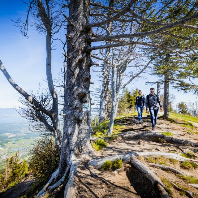
This family loop lets you stroll along the paths and small local roads of the village of Cuvat and discover a panoramic view of Lake Annecy.
In Charly, visit the 15th-century chapel. There is a communal gîte beside it. Walk along the banks of the Bougerie Lake and admire the view over Lake Geneva and the Alps. Mont-Sion forms a natural link between the Salève ad Vuache areas and is crossed by the pilgrims' road to Santiago de Compostela.
- Departure
- Cuvat
-
-
Difference in height
- 25.6667 m
-
-
-
Plain text period
- All year round.
-
-
-
Documentation
- GPX / KML files allow you to export the trail of your hike to your GPS (or other navigation tool)
-
-
-
Accepted customers
-
- See all reviews
- 26 meters of difference in height
-
- Maximum altitude : 708 m
- Minimum altitude : 685 m
- Total positive elevation : 26 m
- Total negative elevation : -26 m
- Max positive elevation : 18 m
- Min positive elevation : -10 m