See photos (10)
Boucle pédestre : Pierre-Vieille
Walking/pedestrian
in Monnetier-Mornex
7.1
km
Walking/pedestrian
2h 30min
Medium
-
This woodland walk gets its name (literally "old stone") from one of the largest boulders scattered across the mountainside. These "crumbs" of Mont-Blanc are a reminder that the Salève was once totally covered by glaciers.
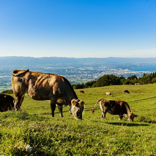
On the way, enjoy the superb panoramic view of the Alps and Mont-Blanc, the Arve Valley and Geneva. You'll also see the famous "Old Stone" boulder deposited here from the Mont Blanc range. In Monnetier-Mornex, the 19th-century hotels and guest houses and the old...This woodland walk gets its name (literally "old stone") from one of the largest boulders scattered across the mountainside. These "crumbs" of Mont-Blanc are a reminder that the Salève was once totally covered by glaciers.
On the way, enjoy the superb panoramic view of the Alps and Mont-Blanc, the Arve Valley and Geneva. You'll also see the famous "Old Stone" boulder deposited here from the Mont Blanc range. In Monnetier-Mornex, the 19th-century hotels and guest houses and the old funicular railway station serve as a reminder that the village is a mountain holiday resort very popular with people from the Geneva area.
-
-
Deals
- In Monnetier-Mornex, you'll see Ermitage Castle and a short discovery trail revealing the visitor heritage in the village. In Mornex, there is a plaque commemorating the time spent here by Wagner and Ruskin (famous people who stayed here, in the Pavillon des Glycines). On the Grand Salève, you can take the cable car and see the botany trail. Wherever you go, there are breathtaking views of Geneva and its lake. Small shops in Mornex.
-
- Departure
- Monnetier-Mornex
-
-
Difference in height
- 309.27 m
-
-
-
Plain text period
- All year: open daily.
-
-
-
Documentation
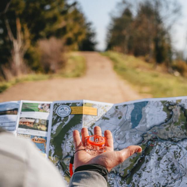
- GPX / KML files allow you to export the trail of your hike to your GPS (or other navigation tool)
-
-
-
Accepted customers
-
- See all reviews
- Points of interest
- 309 meters of difference in height
-
- Maximum altitude : 848 m
- Minimum altitude : 555 m
- Total positive elevation : 309 m
- Total negative elevation : -309 m
- Max positive elevation : 271 m
- Min positive elevation : -139 m


