
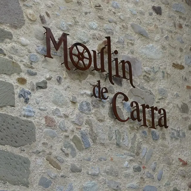
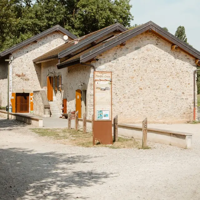
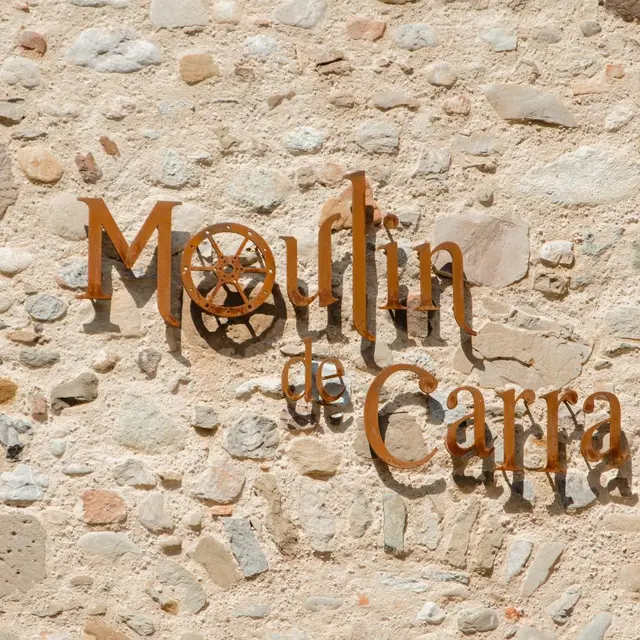
1Moulin de Carra
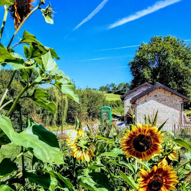
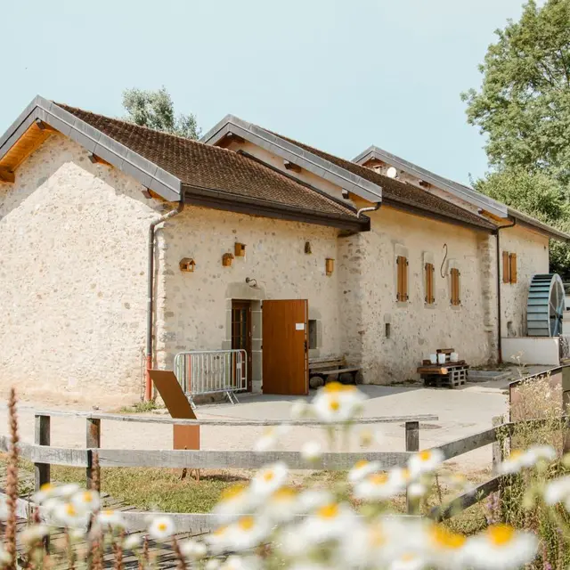
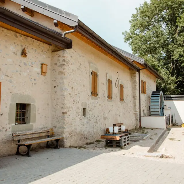
The Moulin de Carra mill is a cultural and natural heritage site in Ville-la-Grand. It’s restoration has made it a lively place for meetings, education and raising awareness of sustainable development.<br/>In this green setting on the edge of the Annemasse conurbation and on the border with Geneva, all publics are invited to visit this breathing place.
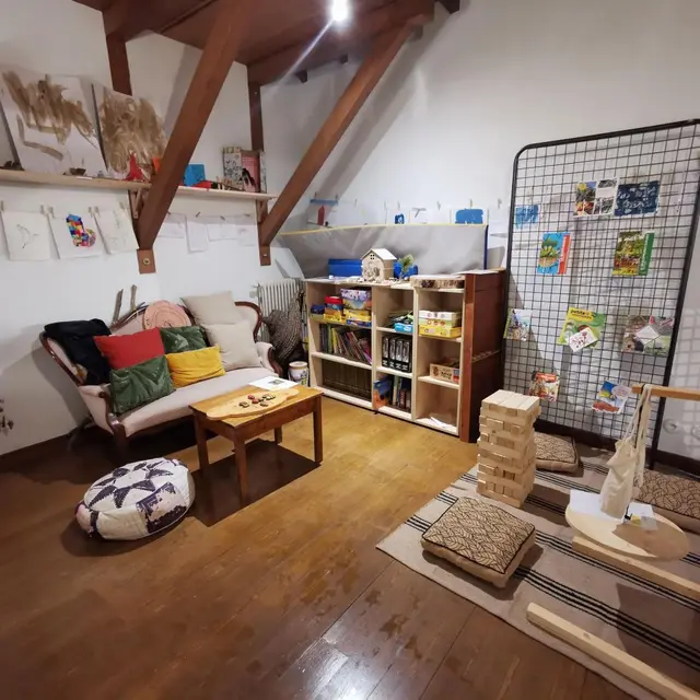
The Moulin de Carra offers exhibitions, events and activities on the theme of nature, well-being and cultural heritage. The Moulin de Carra is also a leisure center, a shared garden and a landscaped public park.
Together, let's experiment, marvel at nature and discover the richness of our heritage.
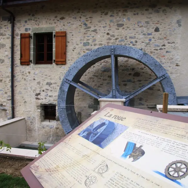
It's difficult to date the origins of the old Moulin, located below Carra in the commune of Ville-la-Grand. In the 19th century, it was one of 13 mills on the Foron and one of 200 in the Geneva basin. At that time, nearly 100,000 watermills were generously dispensing abundant, indefinitely renewable energy along France's waterways. Mills played an important economic and social role. They mechanically ensure the manufacture of basic products: grinding flour for bread, extracting oil, whipping cloth, beating iron, grinding gunpowder, chopping paper pulp.

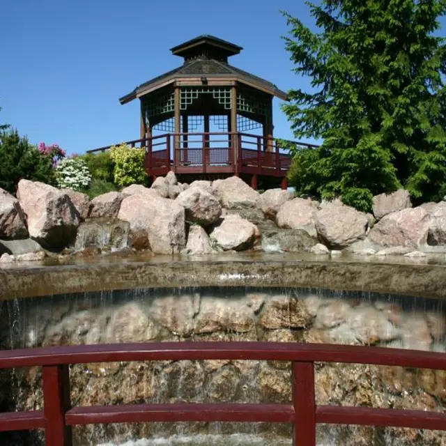
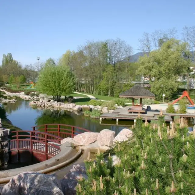
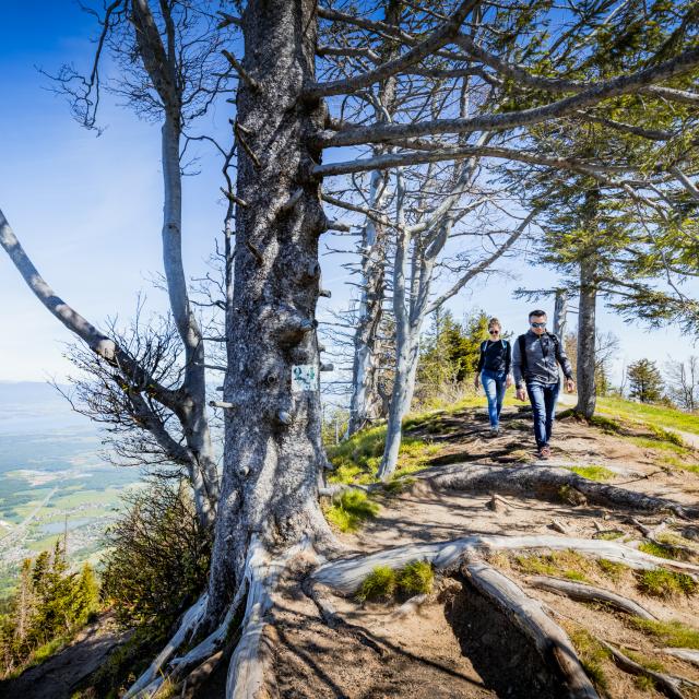
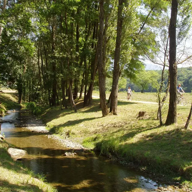
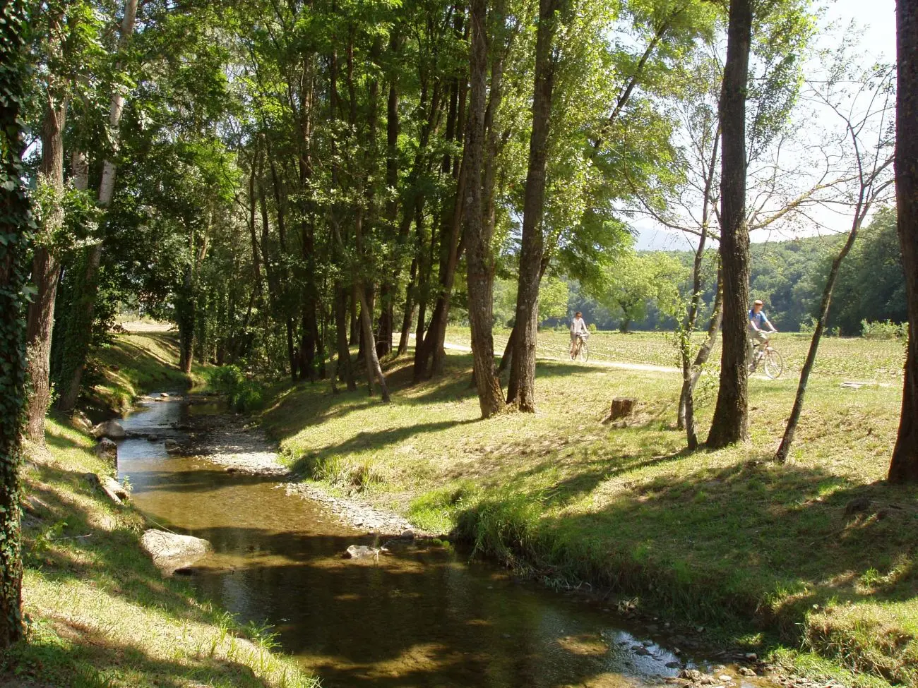
2Parc des Écureuils
This beautiful, recently-built park designed by the architect Biking is located on the Foron’s bank in a natural setting. The centre of its rolling lawns is decorated with a waterfall and water jets.<br/>The Parc des Écureuils is a peaceful natural area, ideal for recharging your batteries in the forest. It's said that if you keep a low profile, you can easily spot red squirrels hopping from branch to branch. Legend or reality, you tell us!
The site showcases the local flora, with its tall trees and preserved undergrowth, as well as its magnificent rose garden. Simple signs explain the life of flora and fauna, so you can learn as you walk. It's the perfect place for a quiet stroll in the fresh air, far from the noise of the city.
Picnic tables are available and children can choose from three separate play areas. A stream and a pagoda grace the rolling park. The ideal place for a family reunion or picnic with friends!