See photos (5)
Circuit découverte : Les Monts du Genevois
Road
in Annemasse
163.1
km
Road
Easy
-
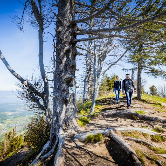
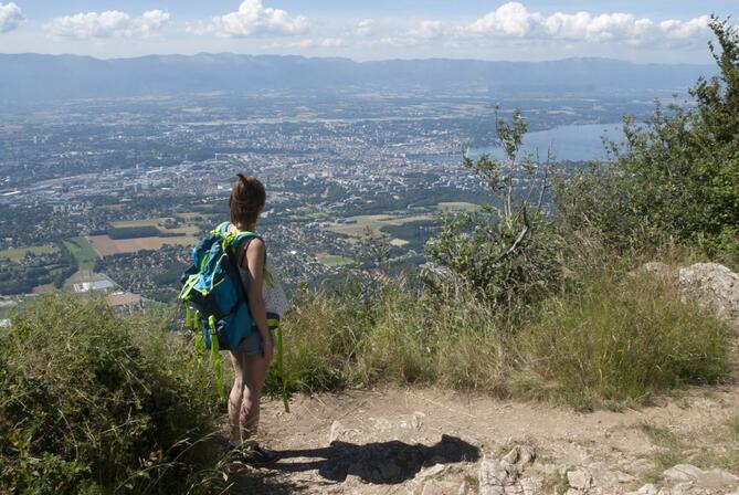
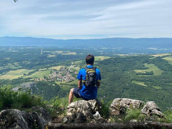
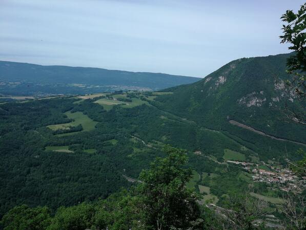
A nature trail that takes you to the 3 Geneva mountains: the Salève, the Voirons and the Vuache. Just a few minutes from downtown Switzerland, on the French side, the Monts du Genevois offer you a trip to the summit!
- Departure
- Annemasse
-
-
Difference in height
- 3312.13 m
-
-
-
Plain text period
- From 01/01 to 31/12.<br/>In winter the Col de la Croisette is closed.
-
-
-
Documentation
- GPX / KML files allow you to export the trail of your hike to your GPS (or other navigation tool)
-
-
-
Accepted customers
-
- See all reviews
- Points of interest
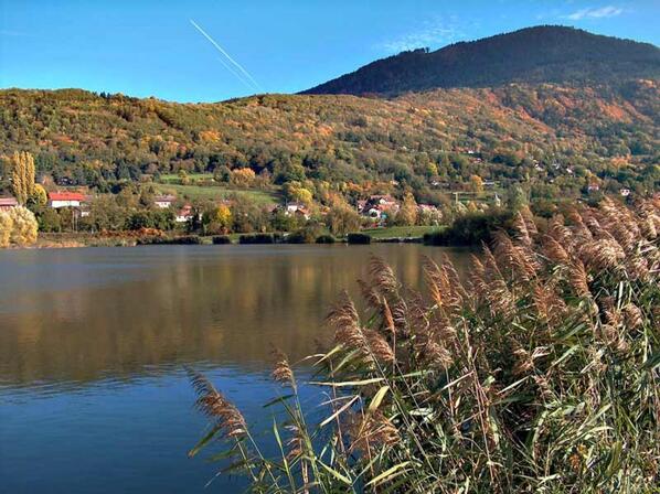
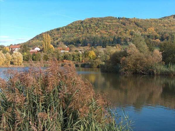
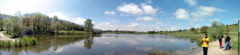
1
Lake Machilly
2
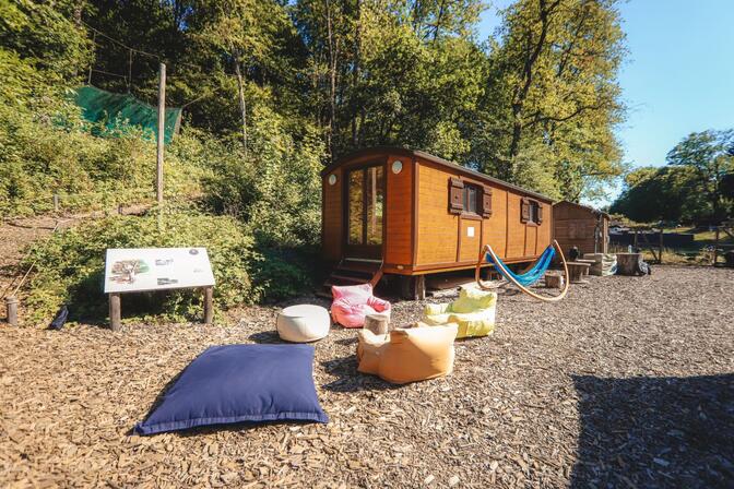
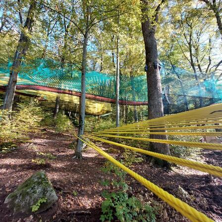
Filenvol
Parcadrone: A space for discovering, learning and playing in the world of drones, with modules and structures for training and perfecting piloting skills.
You'll also find a snack bar, a petanque pitch, hammocks for lounging, games, armchairs, tables, a drone piloting area, a sculpture exhibition, toilets, etc...
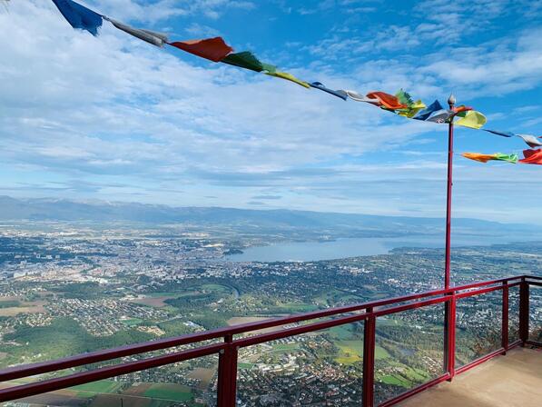
3
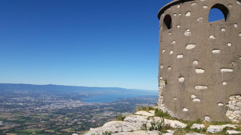
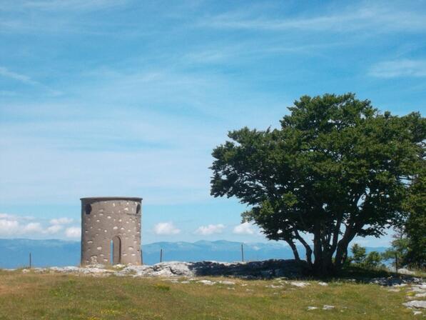
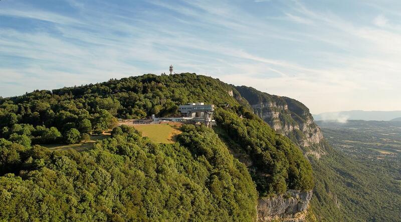
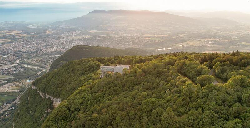
Viewpoint: L'Observatoire
4
L'Observatoire
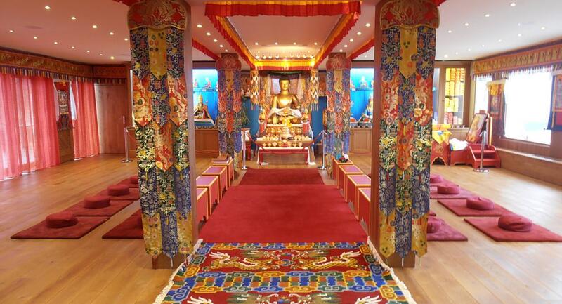
5
Shedrub Choekhor Ling Buddhist Temple
6
Viewpoint: Le grand Piton
At the foot of the tower to the north-east, you can enjoy finding a cartouche engraved on the limestone with the names of Lord Byron and Lamartine.
Also on this site is Rocher de la Sorcière, a large limestone boulder popular with climbers, whose shape evokes a stern-looking old woman.
7
Château des Avenières
8
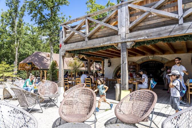
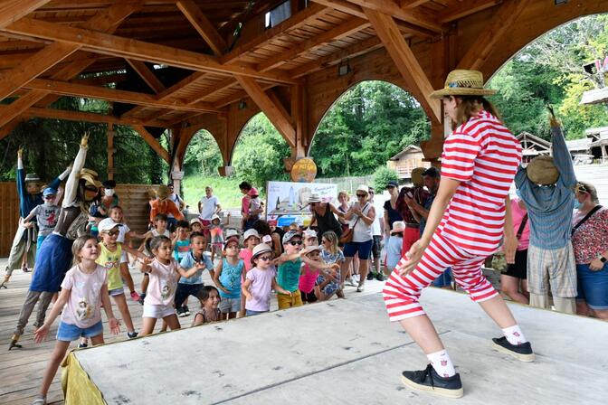
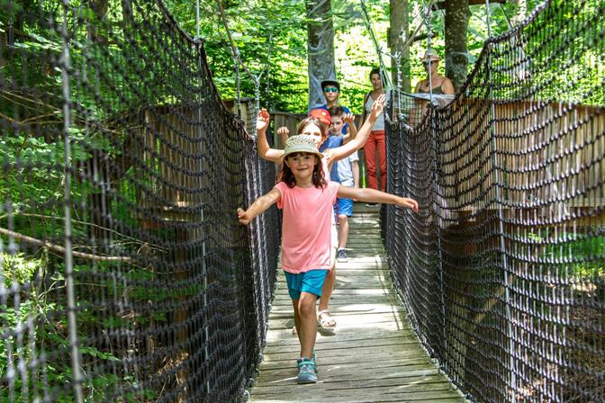
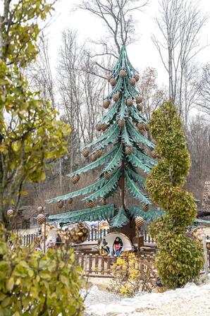
Le Grand Parc d'Andilly
A day out in a dreamy setting...
- 8 hectares of lush, green forest with a stream ""Le Nant Trouble""
- here and there shaded clearings and ponds
- home to some one hundred animals: pigs, sheep, donkeys, goats, reindeer, geese, ducks...
Then it’s time for a show, with the owl contest or Amadeus, a musical show...
Snacks served in the tavern on-site or bring a picnic.

9
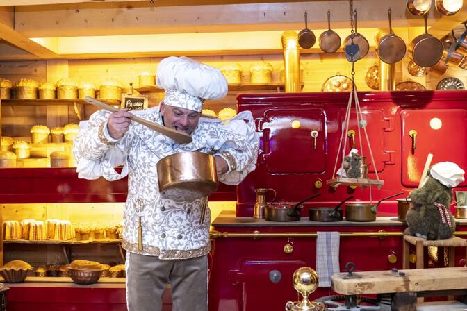
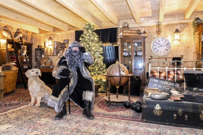
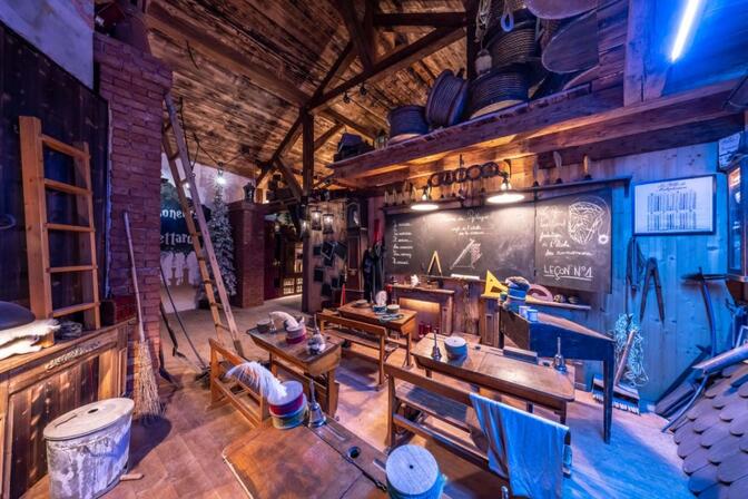
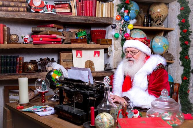
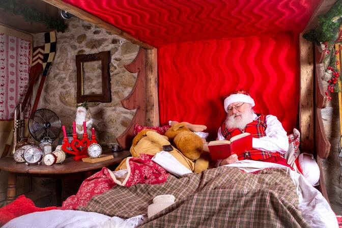
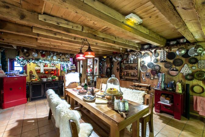
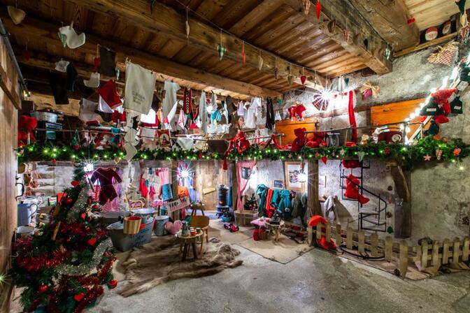
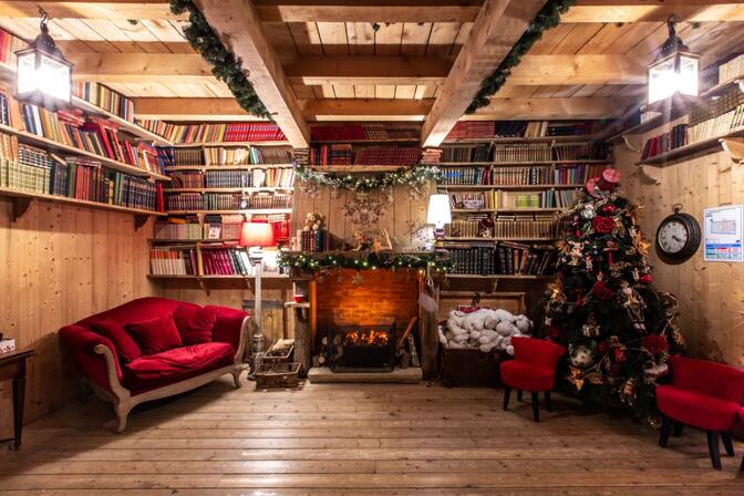
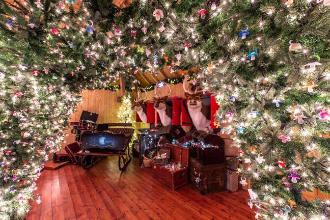
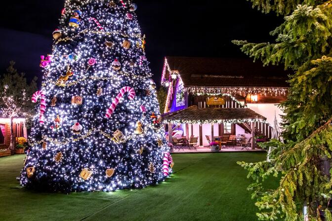
Le Hameau du Père Noël
A bit further on you enter another world, that of his twin brother, Father Whipper! Much nicer than he seems, he will also show you his clean and tidy home.
Finally, to complete the family, one of the Mother Christmases has opened the doors to her cottage to show you a third, feminine, world of Christmas.
Finally, the latest arrival, the Sandman has arranged an Attic of Dummies for Father Christmas which is completely dedicated to this childhood object.
To complete the magic, there is a crêperie and souvenir shop.
Open all year, don’t hesitate to check the opening times and seasonal events. Father Christmas, Mother Christmas and the Sandman appear regularly to meet you and tell plenty of stories.
10
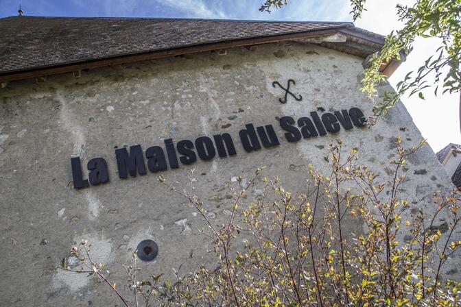
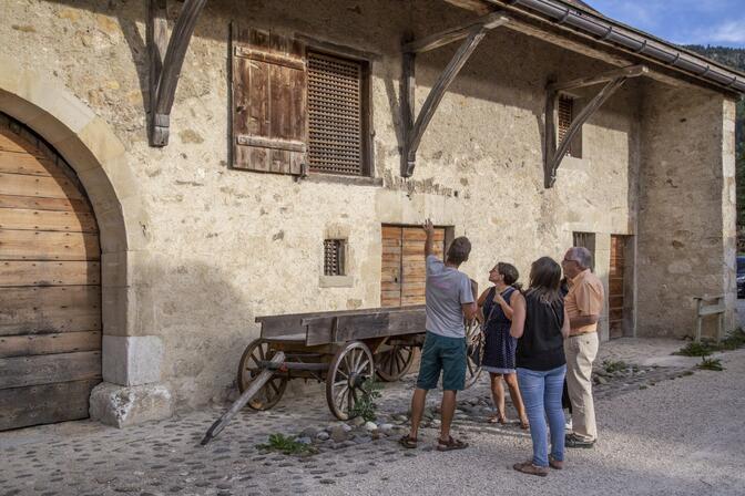
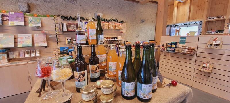
Maison du Salève
The Maison du Salève’s eco-boutique features local artisans, food producers and writers.
11
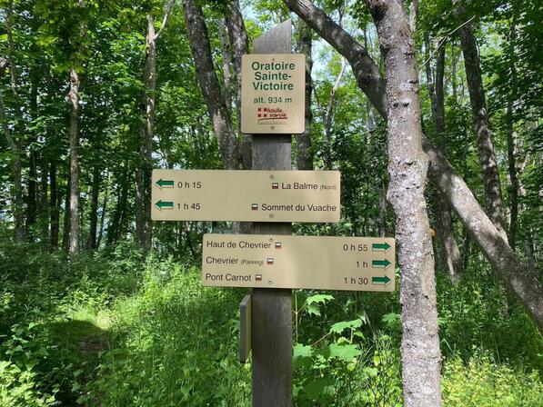
Sainte Victoire oratory Viewing point
12
Sainte Victoire Oratory

13
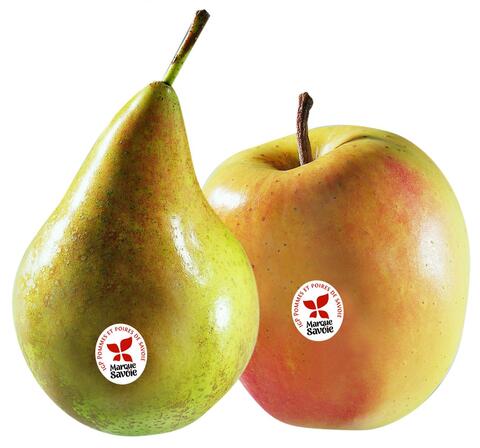
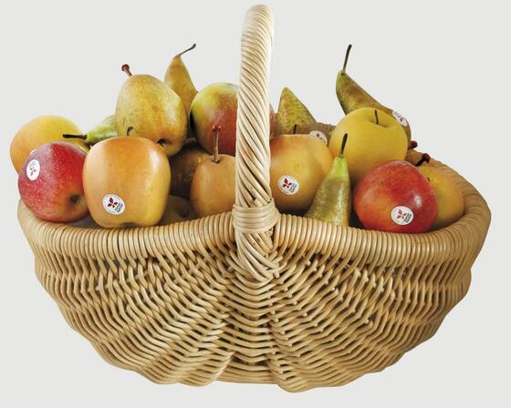
Atout Pom'74

14
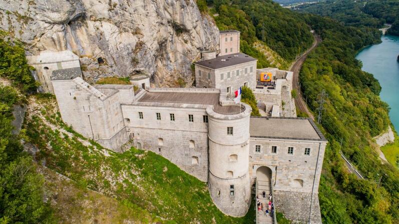
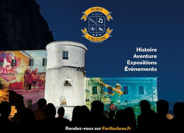
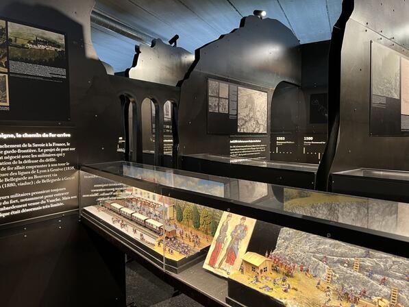
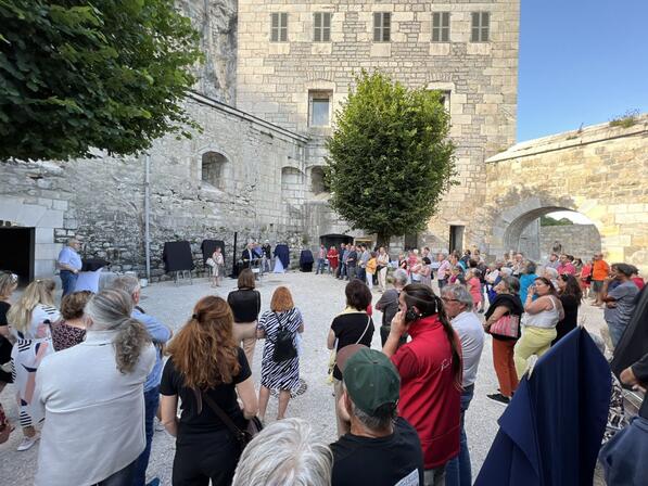
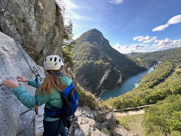
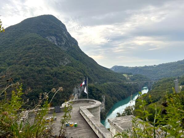
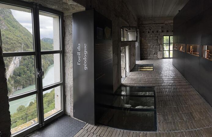
Fort l'Écluse

15
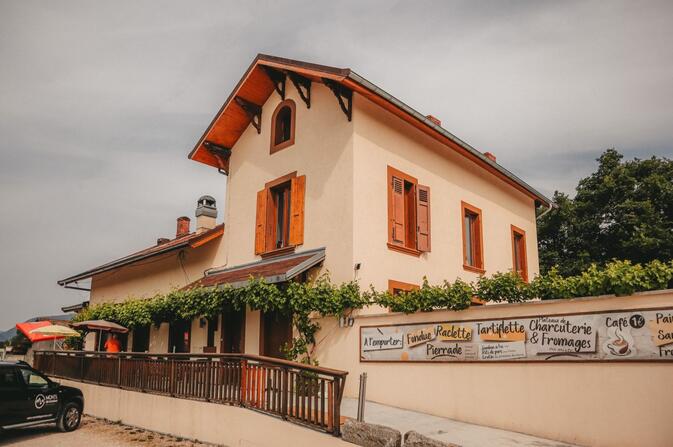
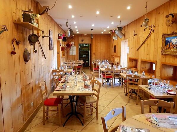
La Fromagerie
16
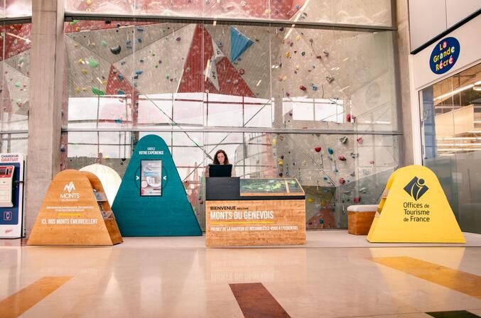
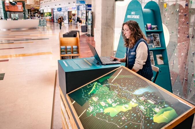
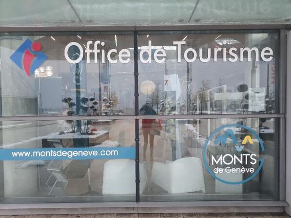
Monts du Genevois - Tourist information center
- A trilingual reception service
- Topographic guides for sale
- Available documents from 8 am to 10pm even if the reception is closed
- Wifi access
17
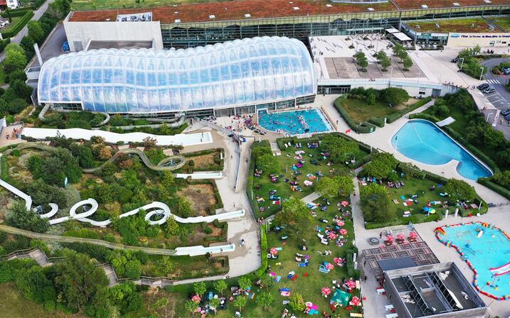
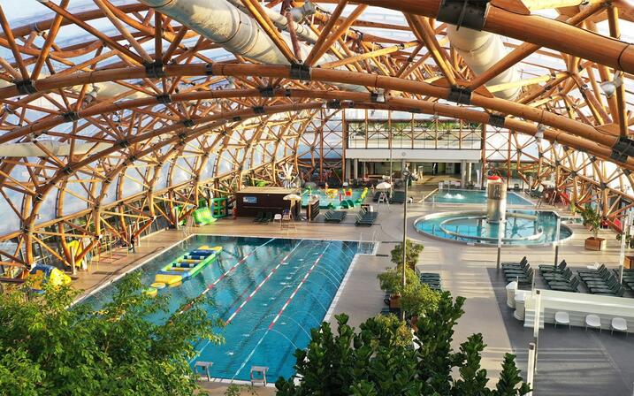
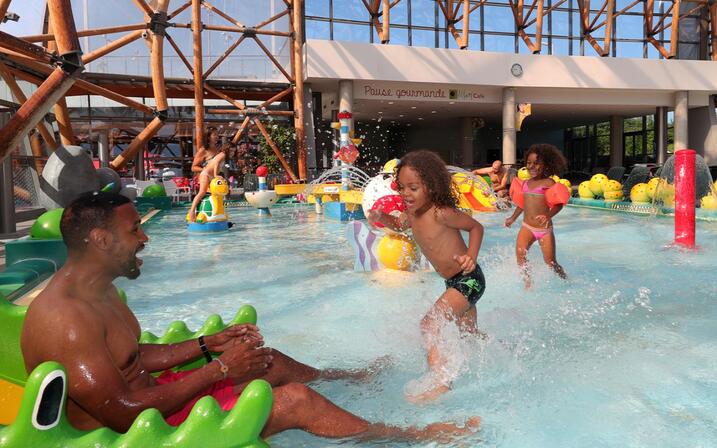
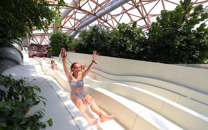
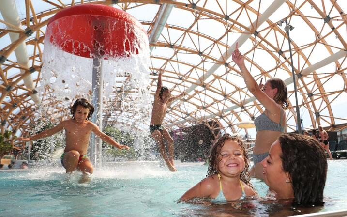
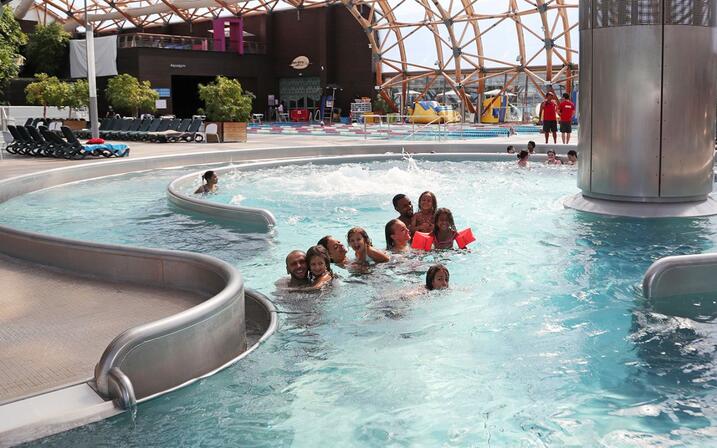
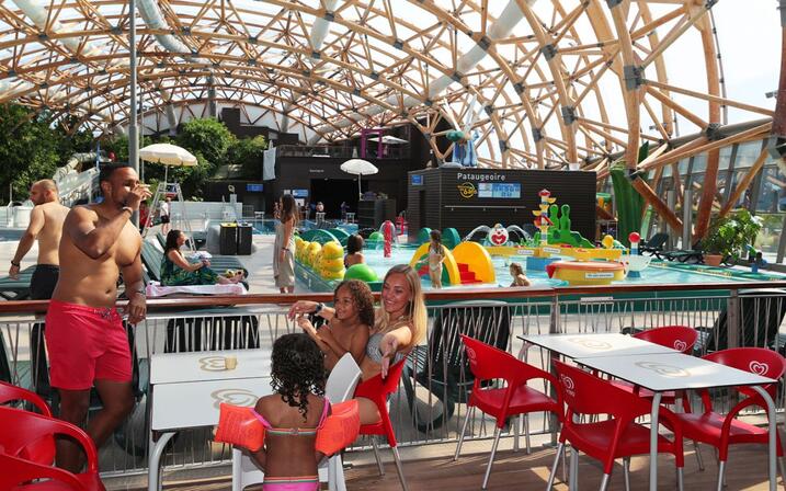
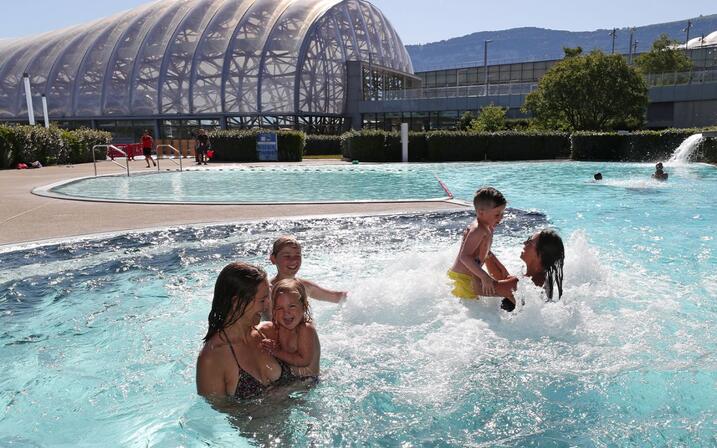
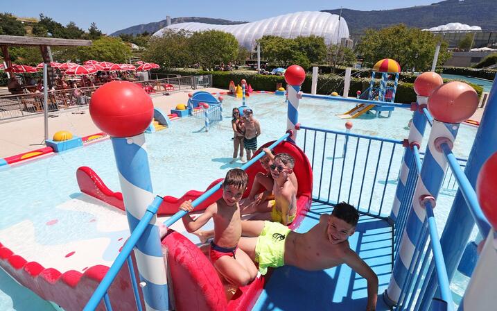
UCPA Vitam
The latest generation Fitness area gives you an opportunity to vary your pleasures with a climbing hall with natural light, 8 squash and badminton courts, and a set of 110 fitness machines to keep you in trim.
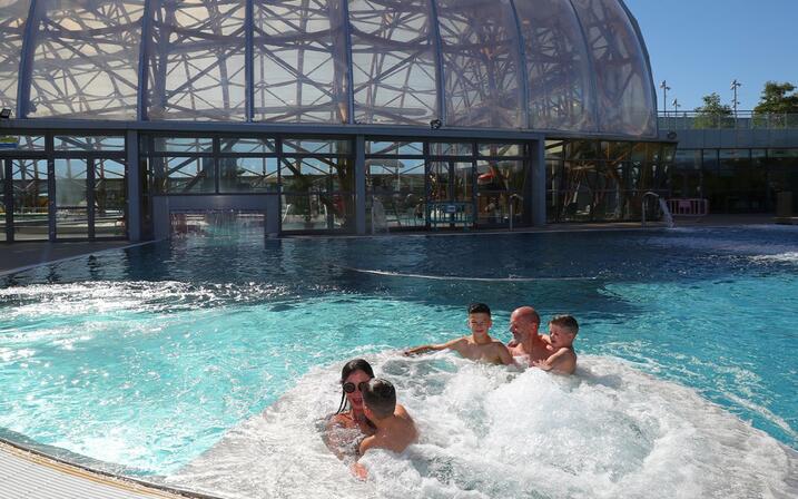
The Well-being & Spa area is a place apart, entirely dedicated to well-being and escape. From the moment you enter this haven of peace, everything invites you to let go of your tension. Relax completely as you pass through the hydro-jets of a vast balneotherapy pool that opens onto a beautiful Mediterranean garden. Around you is a peaceful environment of saunas, hammams, pools heated to different temperature, a rest room and a tea room... Access to the pool area is included in your entry to the well-being area.
To continue your de-stress, Vitam's shopping galley offers retail therapy. Come and discover 20 chill-out shops (home décor, fashion, beauty and well-being), a variety of restaurants, an Ibis Styles hotel that will prolong your well-being through to the early hours, and also the new Migros supermarket where you'll find all our regional products.
18
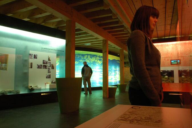
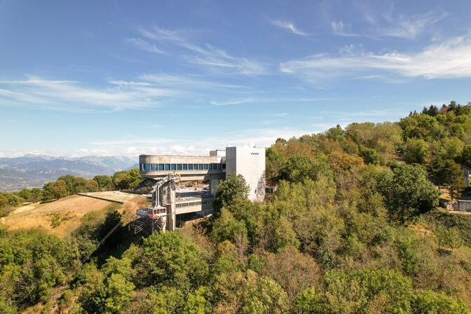
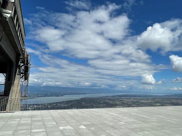
Téléphérique du Salève - cable car
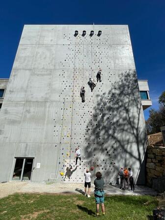
Don't miss this place where sport, culture and nature come together. During your visit, take advantage of the 150m² museum area to learn all about the Salève and the cable car (free guided tour Monday to Friday at 11am), the Café 1100 for a gourmet break, and a climbing wall over 20m high (paying, by reservation).
We'll have to wait a few months to discover the playground (summer 2025).
Other activities, such as the climbing wall, paragliding area, esplanade, museo and children's activities, are available now!
Find out more about the fascinating history of this facility on the tourist office website <a target="_blank" href="https://www.montsdegeneve.com/a-voir-a-faire/culture/legendes-histoires-locales/le-telepherique-du-saleve/">https://www.montsdegeneve.com/a-voir-a-faire/culture/legendes-histoires-locales/le-telepherique-du-saleve/</a>
- 3312 meters of difference in height
-
- Maximum altitude : 1415 m
- Minimum altitude : 342 m
- Total positive elevation : 3312 m
- Total negative elevation : -3312 m
- Max positive elevation : 524 m
- Min positive elevation : -255 m