Hiking loop: Alpine pastures and forests

333 Route du Chef-Lieu, 74350 Vovray-en-Bornes
This short discovery trail dotted with information panels leads up a steep slope to the Salève ridge. It runs through a range of different mountain environments.
After crossing the village of Vovray-en-Bornes and passing a chapel, the path continues on sandstone soil through a forest full of conifers and blueberry bushes. Beyond that lie the mountain pastures. Up at the Plan observation platform, there is a superb panoramic view and a viewing table. The return journey again runs through the woods, and the hamlet of Rogin. The information panels along the way show how the pastures and forests are used and have changed over the years.
  • Tips
    In Vovray, there are two possibilities if you want to see the silica quarries. In Villy-le-Bouveret, there is a small pottery. Stop in the park and beside the lake at Les Dronières. Remember to cross the Caille Bridges, which are steeped in history. The oldest is Sardinian in origin and is a suspension bridge!
  • Guidebook with maps/step-by-step
    1. Turn away from the church, take the small road that weaves between the farms on your left and cross the hamlet of Le Vernay (orchards). Take the D15 to the right for 50 m, then climb left along the grassy path through the pastures, past the oratory (sand outcrops typical of the subsoil on this slope).
    After several forks (follow the signs) in the undergrowth, reach a crossroads (signpost; 1,000 m).
    2. Continue uphill towards the Plan bend. The path climbs a steep slope and enters overgrown alpine meadows. Reach the "Roc du Château" signpost.
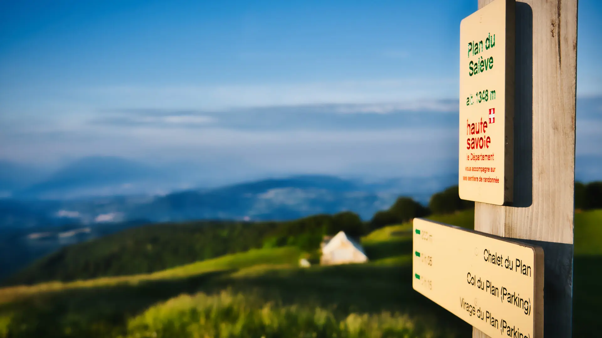
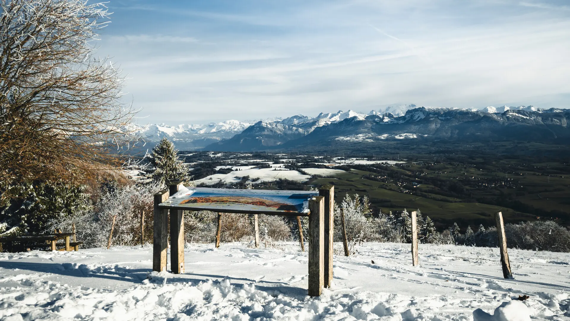
    3. Climb to the left and reach the "virage du Plan" on the D41 (open view of Les Bornes, orientation table, picnic area).
    You can continue uphill to the Salève Plan viewpoint (25 min).
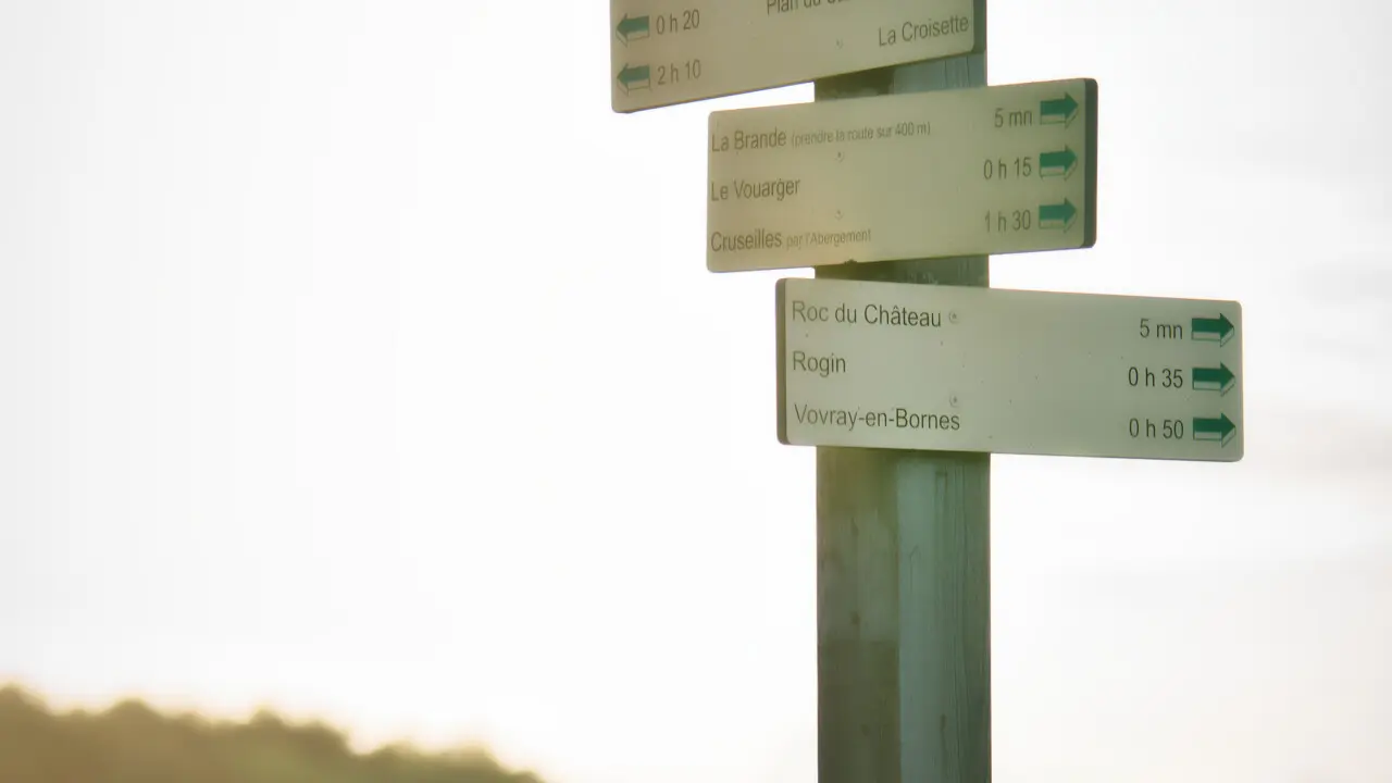
    4. Return to the Roc-du-Château crossroads.
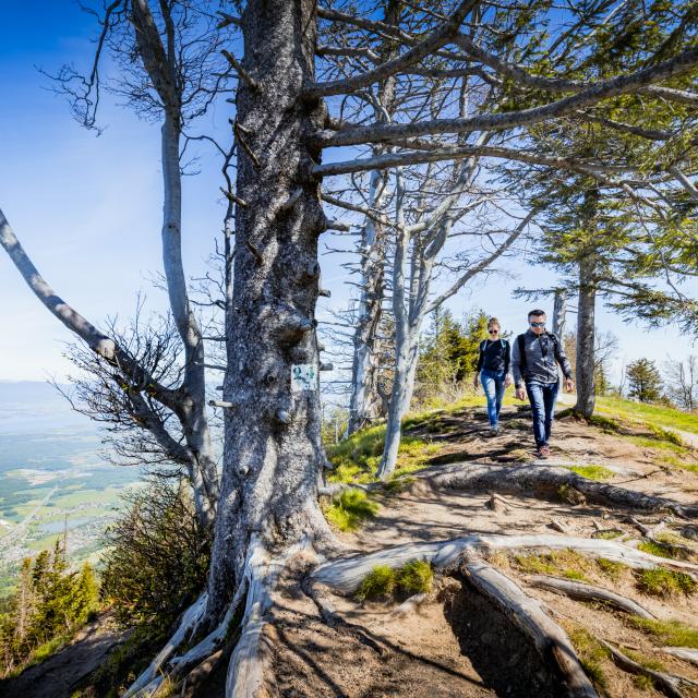
    5. Follow signs to the left for "Vovray par Rogin". First stay level in the alpine pasture, then descend through the beech forest on the wide, winding path. It passes over slabs (slippery in wet weather: take care) and meets numerous junctions (follow the signs). As you approach Rogin, the slope steepens in the coniferous forest.

Services

Services

Picnic area
Animals accepted

Documentation

Documentation

Rates

Rates

Free

Openings

Openings

All year 2025 - Open everyday

Location

Location

Hiking loop: Alpine pastures and forests
333 Route du Chef-Lieu, 74350 Vovray-en-Bornes

Environment

Environment
  • In the country

Access

Access
  • Departure point: Vovray-en-Bornes church parking lot
Updated on 22 February 2025 at 15:08
by Office de Tourisme des Monts du Genevois
(Offer identifier : 105735)
Report mistake
Close
Page suggestions
Filter search
Filter search
  • General public
  • Business website
  • Partners
Page types
  • All
  • Articles
  • Agenda
  • Lists
Aucun résultat