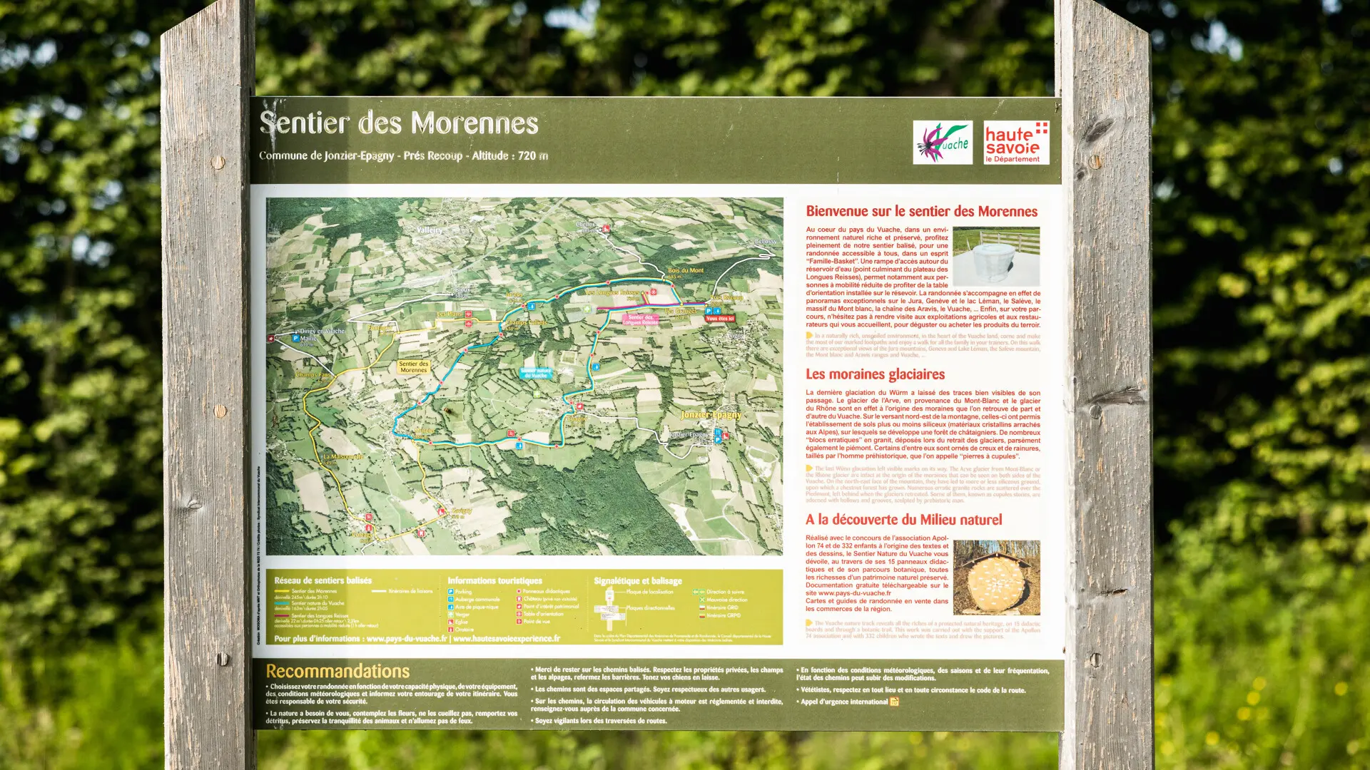
Guidebook with maps/step-by-step
The trail begins in the hamlet of Epagny in the commune of Jonzier. Take the road through the hamlet (towards Jonzier) and then turn left
immediately to the left as you climb up opposite the pond.
Sign No. 1: Birds around villages.
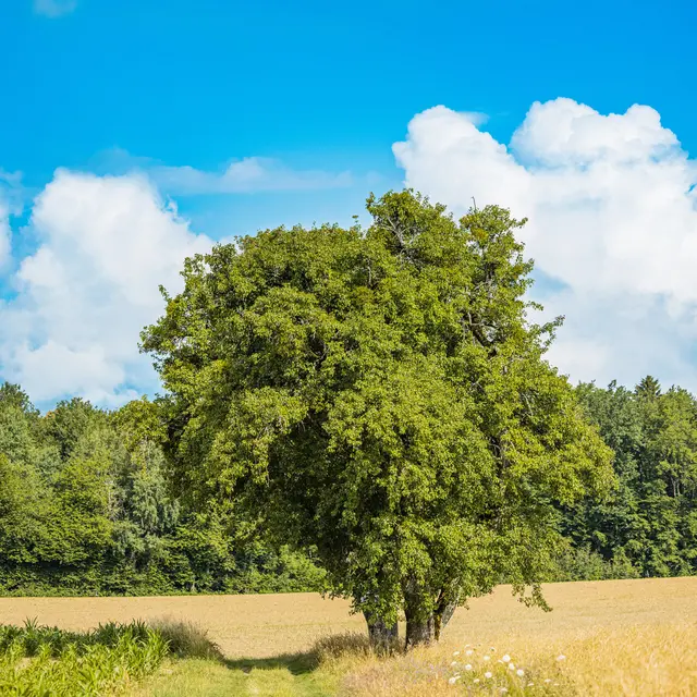
The signposted route continues towards Mont d'Epagny and soon reaches the plateau.
Sign No. 2: Wetland animals. It then continues
through a hedge.
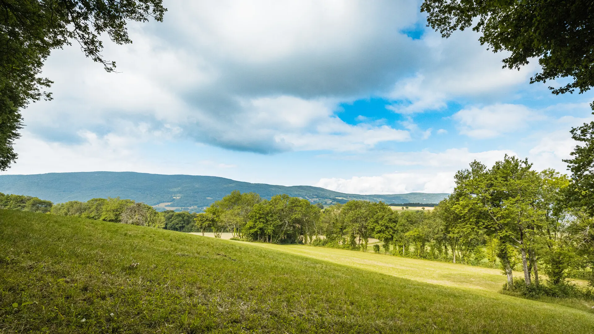
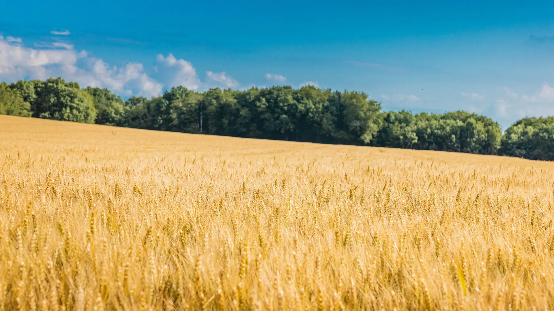
Panel 3: The different roles of the hedge, where you can discover a botanical trail featuring some 30 species. It then emerges onto the Longues Reisses plateau at an altitude of 730 metres.
Alternative route: Here you can return directly to the hamlet of Jurens without having to cross the Bois du Mont. Take the left-hand path and follow the description from *.
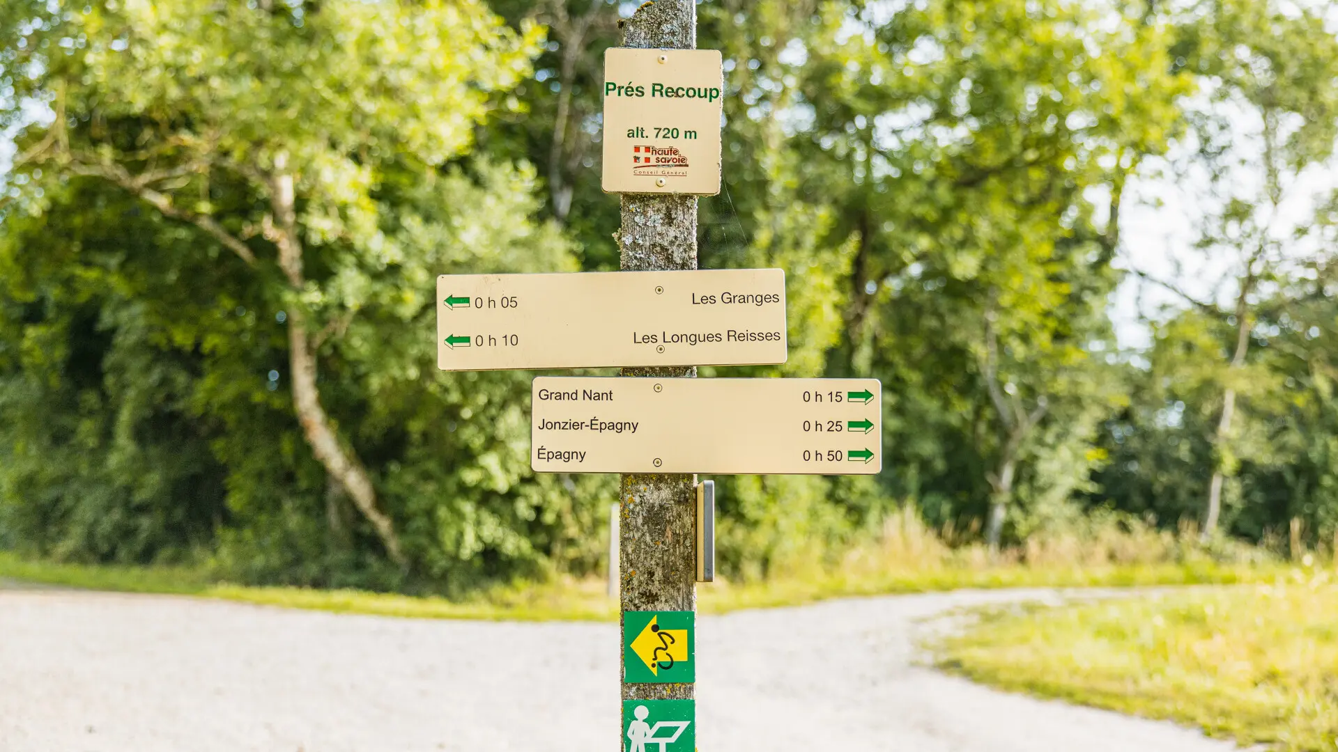
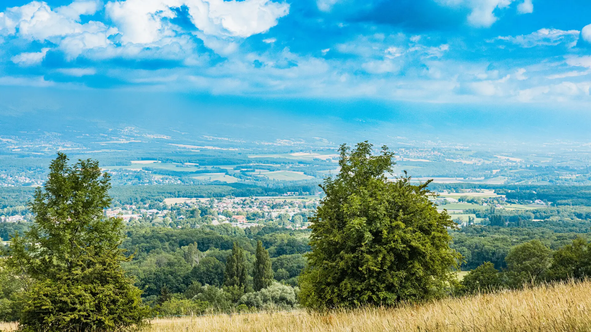
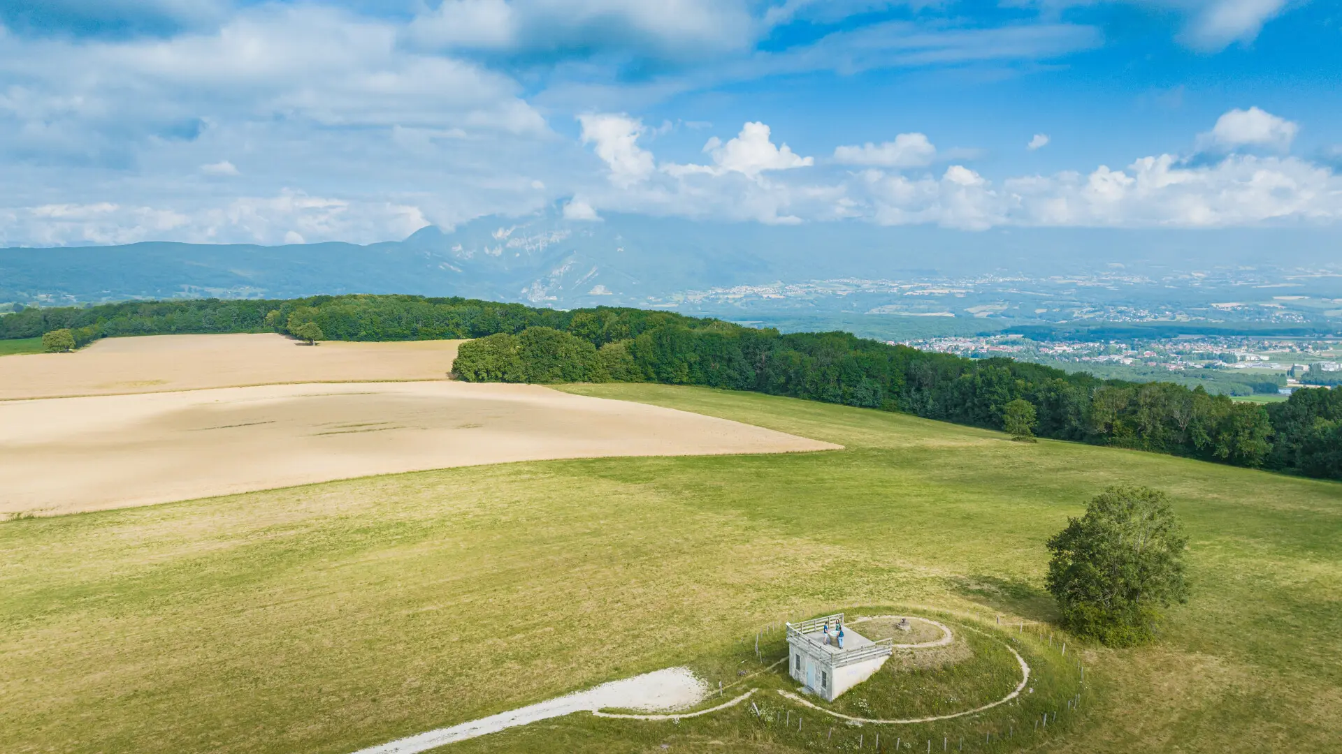
Then head for the Jonzier water reservoir and enjoy the splendid 360° panorama and the
orientation table.
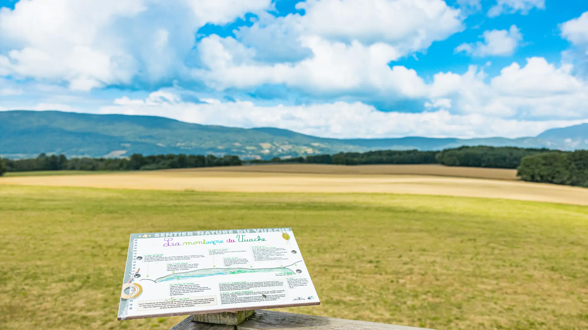
Sign No. 4: The Vuache mountain. Return to the path and, shortly afterwards, take the left-hand path down into the
Bois du Mont.
Sign no. 5: Les Bois du Mont.
Sign 6: Undergrowth litter / Decomposers.
decomposers.
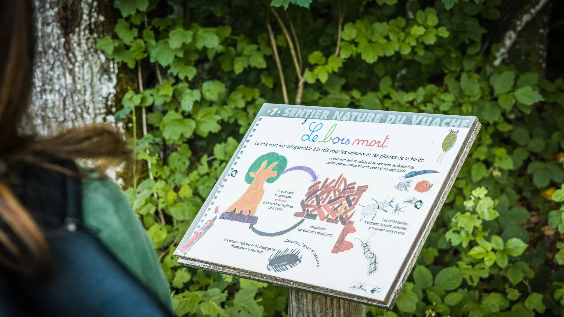
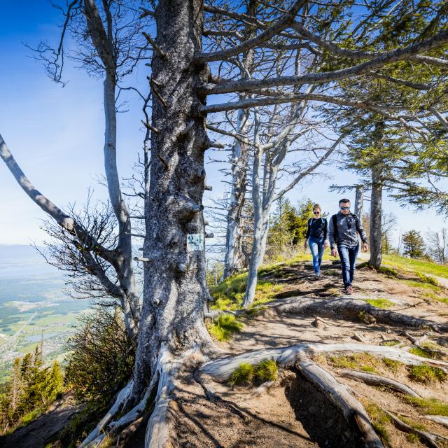
Panel 7: Dead wood.
* The itinerary then reaches the hamlet of Jurens in the commune of Dingy-en-Vuache, altitude 640 metres. Continue downhill and turn left at the first houses.
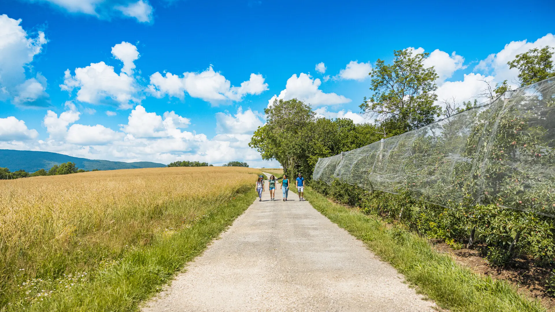
Sign No. 8: The traditional orchard.
The trail then heads back towards Murcier.
Signs 9, 10 and 11: Wetland flora, Fornant springs and Bocage birds. Leave the path and take route départementale n°34.
Sign no. 12: La faune et la flore des talus, which takes you to the hamlet of Murcier (580 m) in the commune of Savigny (take care!).
At the roundabout, turn left and follow the signs to the bottom of the hamlet.
Sign No. 13: Pteridophytes. The itinerary continues to the edge of the Fornant hunting and wildlife reserve (sign no. 14), where you can learn about the history and life of a tree on a slice of poplar.
poplar before finally heading back up towards Epagny.