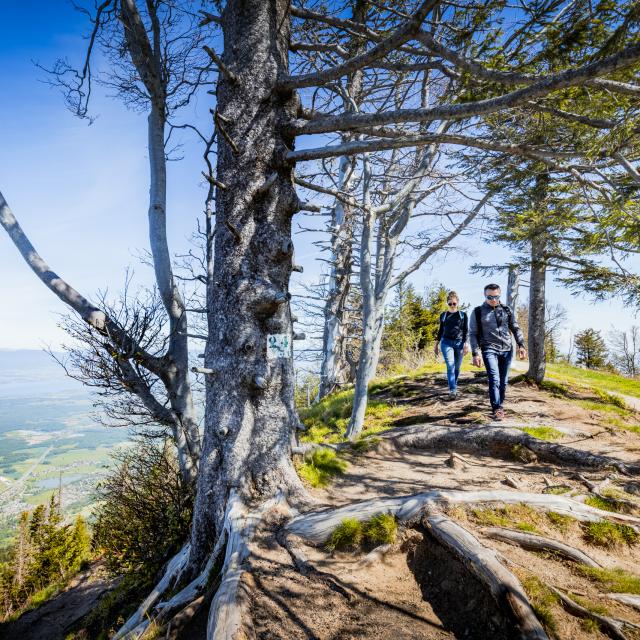


With a fairly steep gradient, the Signal des Voirons trail allows you to discover part of the Massif des Voirons, which together with the Salève and Vuache form the Monts du Genevois.
Read moreShow less
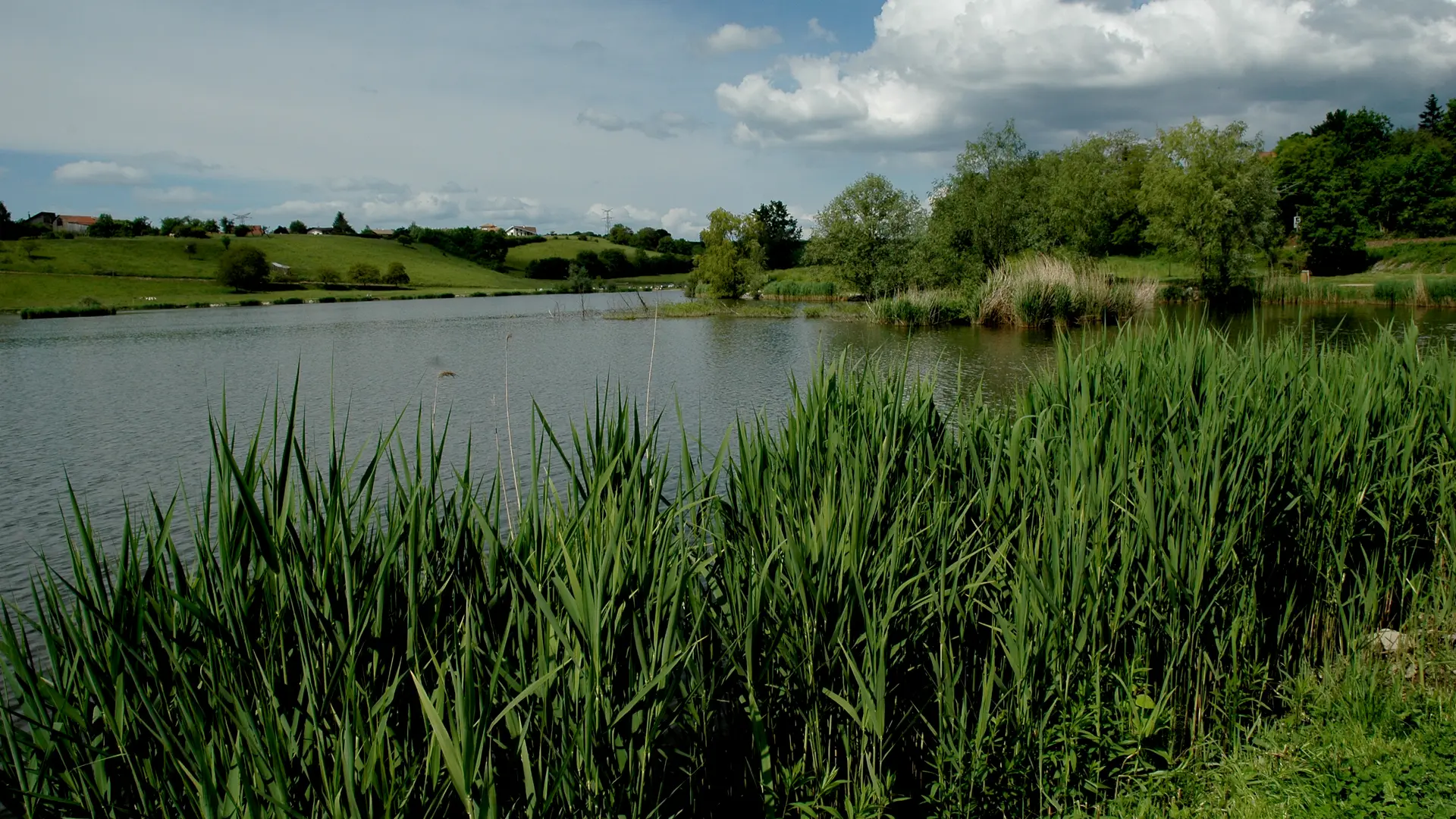
N°. 1 Lac de Machilly (car park on the south side): On exiting the car park, turn left towards the village, go back up the Route des Framboises and take the road leading to Bons-en-Chablais. Cross the D903. Take the Route de Borringes, then the Chemin du Chamenard which turns into a dirt track and continues as far as Chamenard.
N°. 2 Continue climbing on the surfaced Chemin du Sauget.
N°. 3 Turn right along a fairly steep path which brings you out at the bottom of the pastureland of Le...
N°. 2 Continue climbing on the surfaced Chemin du Sauget.
N°. 3 Turn right along a fairly steep path which brings you out at the bottom of the pastureland of Le...
- Guidebook with maps/step-by-step1/ From "Lac de Machilly (Sud)", follow signs for "Signal des Voirons", passing successively through "Machilly (Gare)", "Chez Bussioz", "Borringes" and "Le Chamenard".
2/ At the "Le Chamenard" intersection, head for Signal des Voirons via Le Sauget. Follow the signs for "Signal des Voirons" at "Crêt Cavin", "Le Sauget", "Bois du Creux de Beule", "La Servette (Maison Forestière)", "La Servette" and "Crête des Voirons".
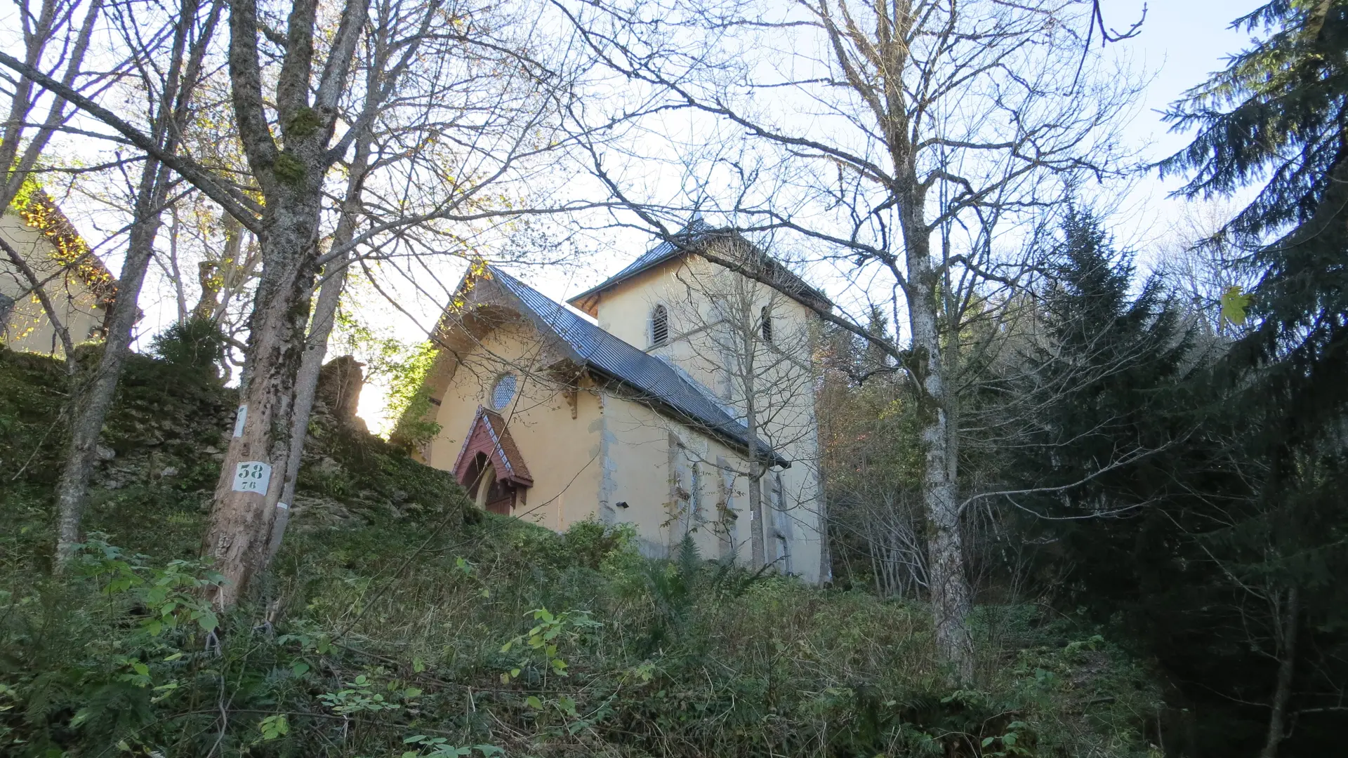
3/ At "Signal des Voirons", continue the loop following Le Chamenard via La Moutonnière. Then follow the signs for "Le Chamenard (Parking)" at the next points: "Notre Dame des Voirons", "Notre Dame des Voirons (Dessous)", "La Moutonnière", "Les Châbles", "Les Pesses", "Sous Crêt Cavin", "Les Granges (Bellevue)", "La Pierre du Cré".
4/ Once you have returned to "le Chamenard (parking)", continue towards the "Le Chamenard" signpost, then return to the starting point by the same route as the outward journey.
Services
Services
Not accessible in a wheelchair
Free parking
Car park
No pets allowed
Rates
Rates
Free
—
Openings
Openings
From 1 April 2025 until 31 October 2025 - Open everyday
Location
Location
Contact Rundwanderweg : Le Signal des Voirons
Environment
Environment
- Lakeside or by stretch of water
- View onto lake, body of water, river, canal
- Close to GR footpath
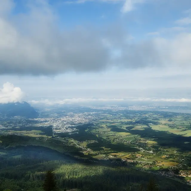
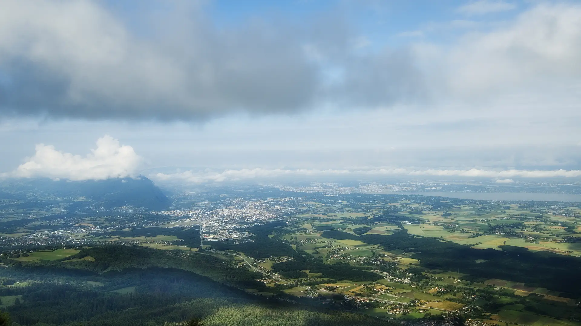
- Mountain view
- In the country
- In the mountains
- Station district
- Waterside
- Close to a public transportation
Access
Access
- Bus : 6 - stop: Machilly Gare
Join Machilly and Lac de Machilly north east of Annemasse in the direction of Thonon (D1206) - Parking: Lac de Machilly, parking on the south side.
2nd start from Chenevard carpark