


#Montsdugenevois
 Les Voirons
Map of the region
Discovering Monts du Genevois
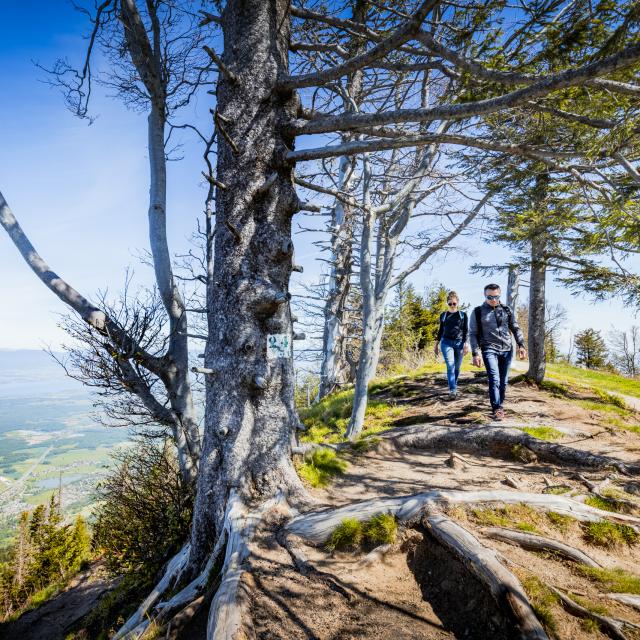
Hiking loop: aux sources du Parnant
A beautiful loop, skirting the sources of the Parnant (a small tributary of the Rhône) and offering a variety of paths, through the agricultural plain, undergrowth or on an ancient glacial moraine, where the views are astonishing.
04 50 04 62 89
www.pays-du-vuache.fr
74270
Free
Best price guaranteed Best price guaranteed without commision by Office de Tourisme des Monts du Genevois

Nordic walking Ternier route blue loop
A loop allowing you to travel through forest and plateau in order to discover the haut-genevois, looking over Saint-Julien and the tip of Lake Geneva.
04 50 04 71 63
www.asj74.org
74160
Free
Best price guaranteed Best price guaranteed without commision by Office de Tourisme des Monts du Genevois

Living together - Street art
On your way to Avenue de Ternier, admire the Vivre ensemble fresco. It was commissioned by the social landlord Erilia and the town of Saint-Julien-en-Genevois.
assoglitch.com
74160
Free
Best price guaranteed Best price guaranteed without commision by Office de Tourisme des Monts du Genevois

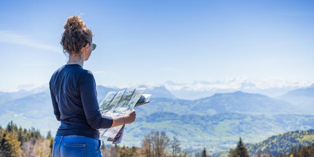
Walking tour : à la découverte du Plateau des Bornes
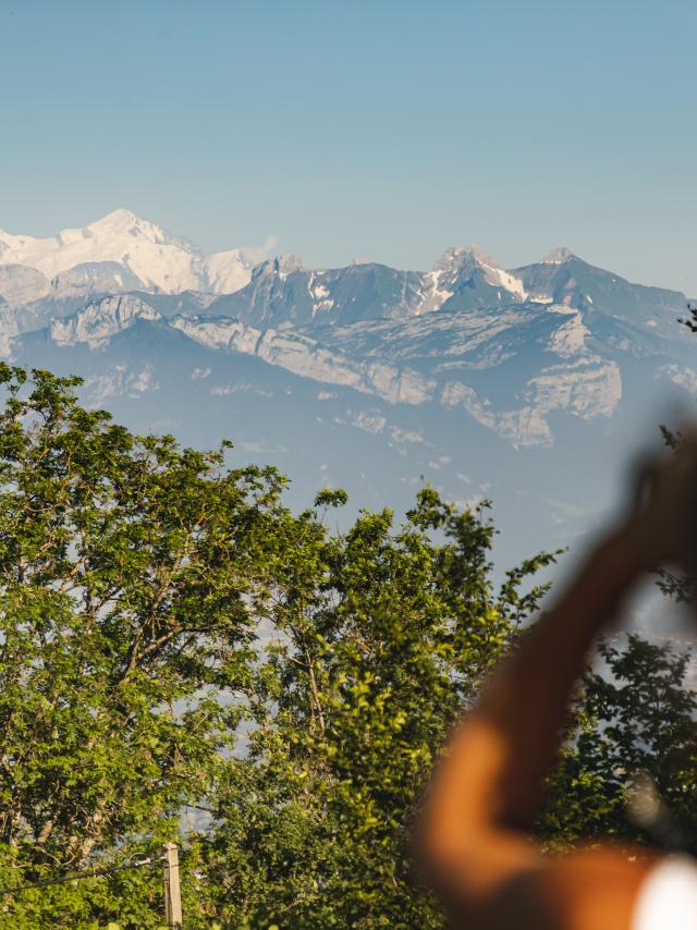
The plateau des Bornes offers a 360-degree panorama: Salève, Jura, Aravis, Mont-Blanc, Chablais. A rural route in the heart of a mountainous setting, whose colors change with the passing hours.
04 50 95 07 10
74350
Free
Best price guaranteed Best price guaranteed without commision by Office de Tourisme des Monts du Genevois
Find your
Adventure
a few seconds ago
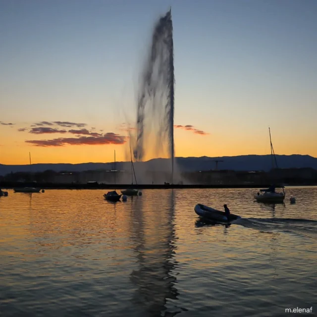
Bon week-end à tous!☀️ #swiss #switzerland #swisstourism #myswiss #geneve #geneva #genevatourism #igersgeneva #lacleman #jetdeau #jetdeaudegeneve #photography #canonphotography#reflection #waterreflection #canonswitzerland #picoftheday #sunset #sunsetlovers #boats #onthelake #lakeview #goldenhour #passion #memories #magicmoments #weekend #weekendvibes #enjoying
a few seconds ago
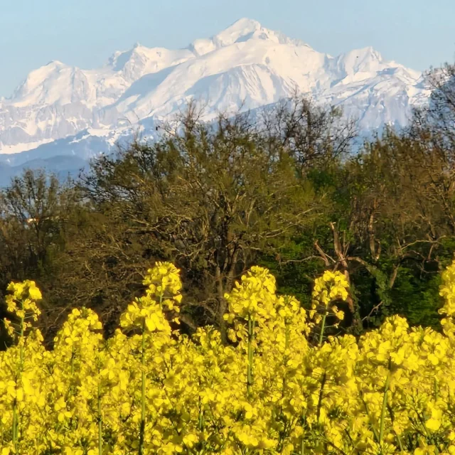
Mont-Blanc and rapeseed seen from Geneva - Mont-Blanc vu depuis Genève et champ de colza (Switzerland - Suisse) #swiss_views#switzerland#suisse#schweiz#svizzera#geneve#geneva#splendid_shotz#vue#view#paysage#landscape#champ#field#jaune#yellow#france#montagne#mountain#montblanc#photography#photo#alpes#alps#spring#printemps#naturelovers#naturephotography#nature#frühling
a few seconds ago
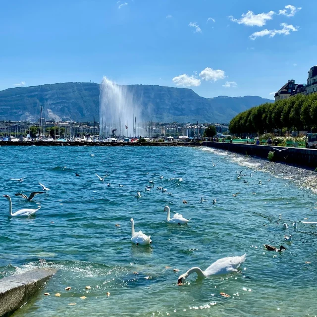
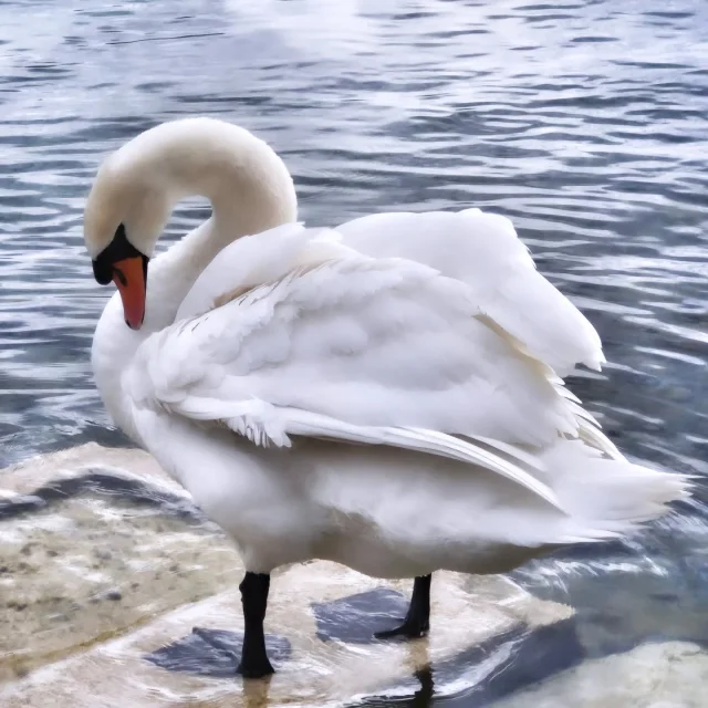
Glistening waters of Geneva, Switzerland!🇨🇭 🦢
a few seconds ago
genèvemylove Ambiance Genève en ce mois d'avril 2025 🇨🇭 #genève🇨🇭 #geneve #genève #geneveshopping #suissemonamour #suissetourisme #genevewatch #geneva #genèvemylove #genevetourisme
a few seconds ago
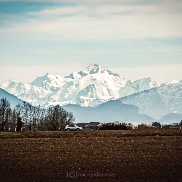
De Genève au Mont Blanc, toit de l'Europe, il n'y a qu'environ 80km en vol d'oiseau... . . . . #picoftheday #pictureoftheday #photooftheday #photography #photographer #amateurphotography #amateurphotographer #geneve #genève #montblanc #suisse #geneva #bluesky #outdoors landscape #beautiful #amazing #outdoor #nature #natural #outdoors #thegreatoutdoors #sunny #enjoy #enjoylife #lifestyle #life #lifeoutdoors #terryandrew #mountains #sonya7riii #montagne
a few seconds ago
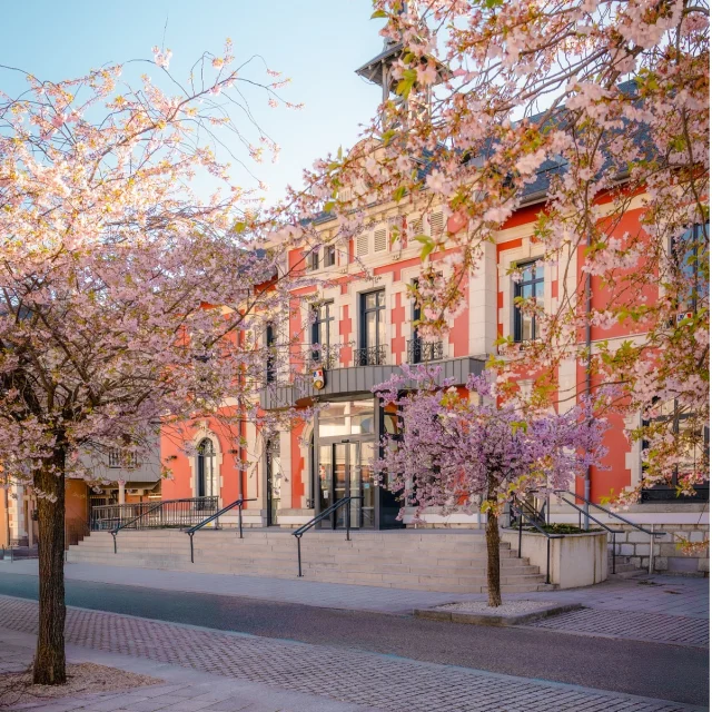
Essayant de capturer les beaux moments du printemps 🌸 #printemps #spring #cruseilles #france #hautesavoie #montsdugenevois #beautifuldestinations
a few seconds ago
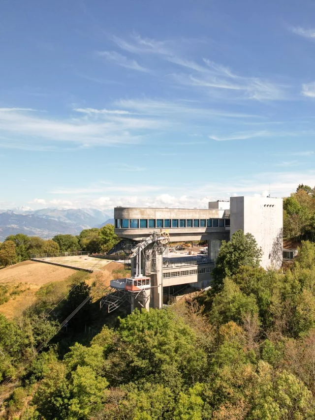
#saleve #salève #architecture Pix By Yann
a few seconds ago
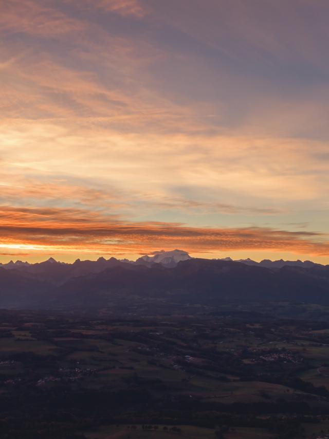
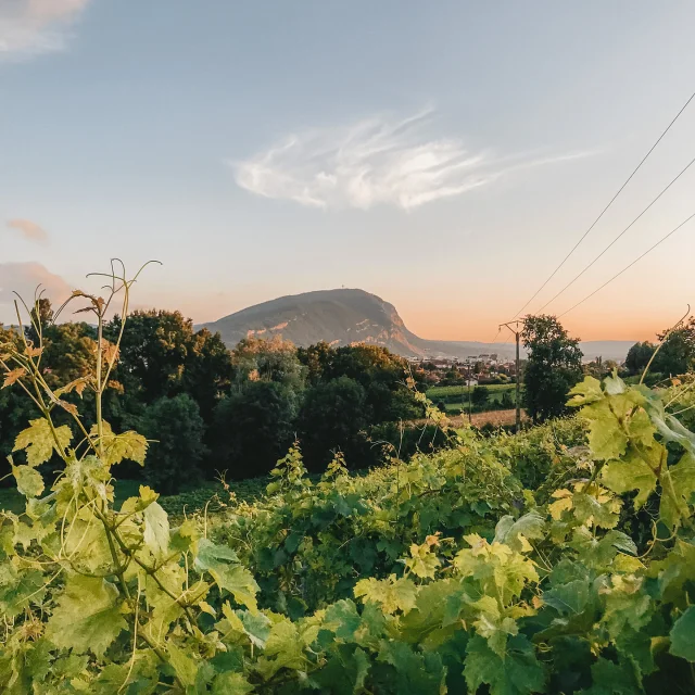
L’heure d’été arrive… et les soirées dorées aussi ! 😍🔥 Ce week-end, nous avançons nos montres et horloges d’une heure ! Mais surtout, nous gagnons de longues fins de journée baignées de lumière. En ville ou aux sommets des montagnes, le soleil prendra son temps pour illuminer les paysage et nos soirées ! ☀️ Un vrai petit air d’été avant l’heure, qu'en pensez-vous ? 💛 📸 OT Monts du Genevois - A.Modylevskaia #sunset #nature #champs #vignes #montagne #destination #voyage #montsdugenevois #hautesavoie #hautesavoiemontblanc #auvergnerhonalpes #france
a few seconds ago
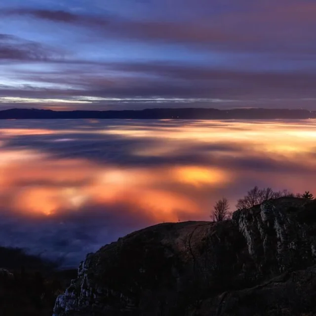
Crépuscule au dessus des nuages, dans le silence offert par les nuages sous lesquels le bassin genevois s’illumine… - - - - - - - #hautesavoie #nuages #cloud #crepuscule #down #genevois #saleve #maisondusaleve #montsdugenevois #montagne #auvergnerhonealpes #geneve #nightlights #cloudscolors #nightphotography